Michigan’s Record-Breaking Snowfall Totals Since Thanksgiving
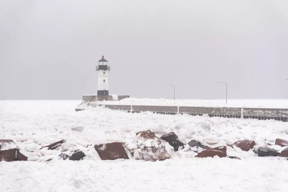
The end of the year has been about as "normal" a Michigan Winter as one can expect. Thanksgiving was immediately followed by the first big snowstorm of the season, and since then, temperatures have rolled from the high forties to single digits.
One day, the snow melted, and it was green once more, only to be covered up by a heavy helping of lake-effect snow last week. According to the National Weather Service (NWS), we now know some of these storms' record-breaking results.
⬇️❄️YEARLY SNOWFALL TOTALS IN GRAND RAPIDS SINCE 2000❄️⬇️
All around the Midwest, snowfall totals reached record highs. Parts of New York saw over 6 feet of snow, while Michigan has gotten over 60 inches of snow combined from these two storms. Many schools have already had two to three snow days in the first 14 days of December.

Areas around the West side of the state saw totals between 24 and 36 inches, while the east side saw totals between 6 and 12 inches. The upper peninsula, as always, saw the most snowfall across the state with upwards of 48 to 60 inches.
READ MORE: The Story Behind Van Andel Arena’s 15,000-Light Holiday Ribbon
Gaylord saw its snowiest day since 1998 with 24.8 inches in one day (November 29th). All this snowfall could be attributed to the Great Lakes coming off record high water surface temperatures. Warmer lakes create a bigger difference between the water and air, leading to more lake effect snow.

This is only the beginning of the winter season, and if the Farmer's Almanac is to be believed, there is a chance of another massive winter snowstorm in January. All that to say, we're definitely getting more snow than last year.
Annual Snowfall Totals In Grand Rapids, MI Since 2000
Gallery Credit: Tommy McNeill
Beautiful Christmas Trees To See Before The Season Is Over
Gallery Credit: Tommy McNeill
More From 97.9 WGRD