Was There Ever A Land Bridge Connecting The Upper and Lower Peninsulas?
If you study history, you know that the majority of the Native Americans are suspected to have crossed the Atlantic Ocean from what is now Russia, into Alaska, and migrated south into the Americas. They did so by crossing a land bridge that is now mostly underwater. However, remnants of it can still be seen in Alaska with the Aleutian Islands.
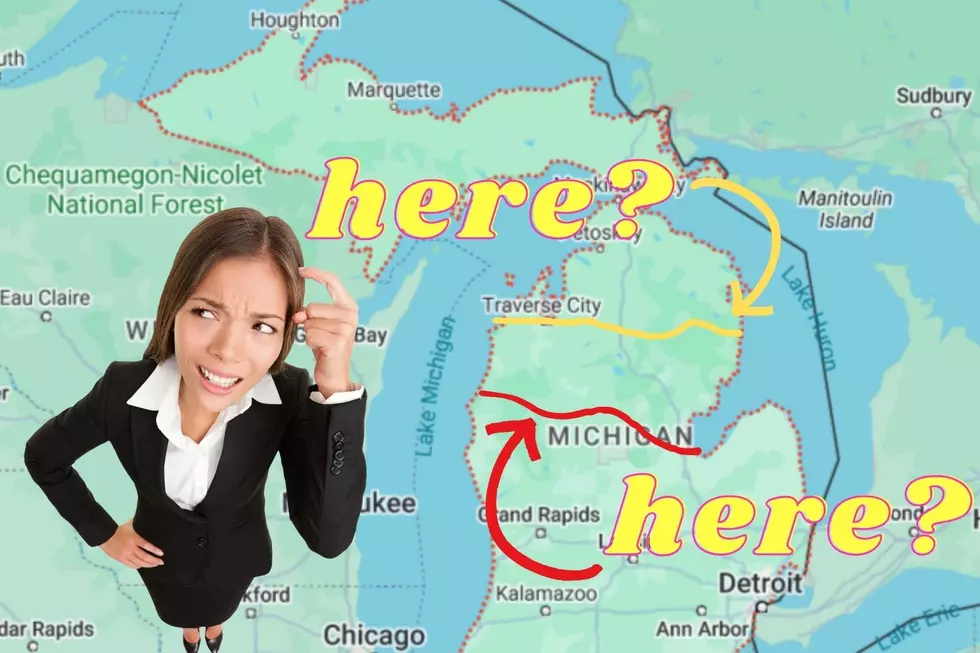
And while the Great Lakes aren't NEAR as massive of a trek as crossing the Atlantic Ocean, is it possible that the Upper Peninsula was ever connected to the Lower Peninsula in (modern-day) Michigan and THAT'S how people migrated across the lakes before the Mackinac Bridge?

Well, obviously, we know native tribes were able to cross the lakes using boats, and in the winter, the lakes mostly freeze over enough that you could walk across the frozen surface. But was there ever a time when people could still cross using terra firma as their outlet?
No.
From what we can tell, there has NEVER been a connection between the two peninsulas. Funny thing, though, it could still happen at some point in history!
I did a lot of research, trying to find out if Michigan's two peninsulas were ever connected, and there wasn't much detailing any connection between the two land masses. What I DID find, though, were several maps showing that earlier in history, there was actually MORE distance between the peninsulas.
A map recently posted to Michigan History Facebook page, shows an approximation of what Michigan could have looked like 12,000 years ago. And right away, you notice that the modern-day long Upper Peninsula is limited to a tiny sliver of land, dangling off of what is now Wisconsin.
If you can find the outline, back 12,000 years ago, the Upper Peninsula was under water, and so was the majority of the modern coastline of the lower peninsula. THAT is mostly due to the end of the Ice Age, at around the same time. (Prehistoric Michigan was all still underwater before the Ice Age.)
During that time, native tribes, mammoths, and mastodons were the dominant species in the Mitten, and glaciers that had built up over millions of years were finally beginning to melt. That meltwater filled the Great Lakes far beyond their modern-day capacity, and actually formed a MEGA lake, which you can see on the map - Lake Algonquin.
Lake Algonquin was Lakes Superior, Michigan, and Huron, all combined, and put quite the distance between Michigan and any land mass to the north and west. The closest bit of land would be, even well beyond Sault Ste. Marie, indland, in Canada.
So in recognition of the original question, no, there was never a land bridge between the two peninsulas. The closest we've come to date is the Mackinac Bridge and a lot of ice. BUT, over tens of thousands of years, we have gone from one MEGA lake - Lake Algonquin - to just three Great Lakes - Superior, Michigan, Huron. So, who knows... maybe in another few thousand years, the Mackinac might be unnecessary.
Michigan's Prehistoric Creatures
More From 97.9 WGRD