Imagine the horror movie scenarios that may pop into your head when driving down a road and are confronted with a 'DEAD END - Your GPS is Wrong' sign like the one in Northern Michigan.
The highway covers approximately 396 miles in Michigan, which takes you through various landscapes, including farmland, forests, suburban communities, and more.
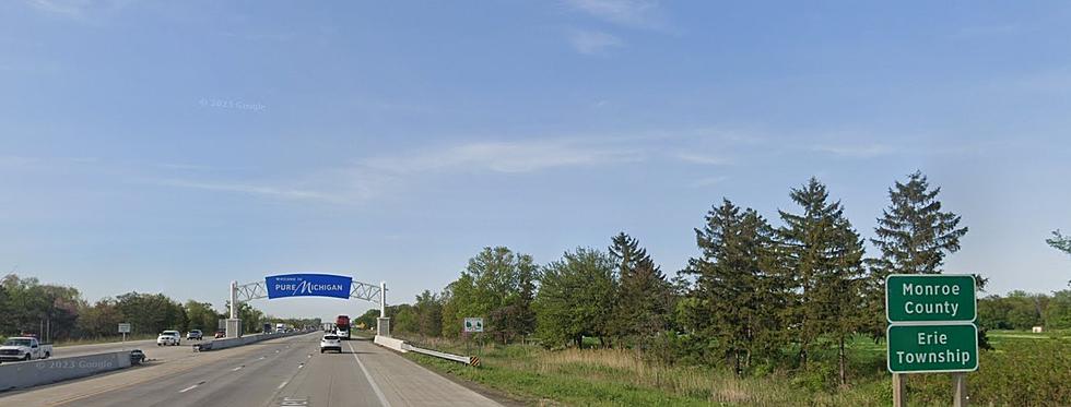
Cross the Michigan-Ohio state line on I75 and find yourself in a rural freeway without many houses, businesses, or crossroads. With the busy corridor between Toledo and Detroit, it's an odd change from the urban freeway in Michigan.
The state of Indiana has a dilapidated antique bridge over the Wabash River they will give away to anyone who can come up with a compelling use for it.
Drive through the heart of East Lansing adjacent to the campus of Michigan State University on Grand River Avenue and you'll see the intersection for M.A.C. Avenue. Be careful how you pronounce it.