Looking Back On The Construction Of The Dam That Removed The Grand River’s Rapids
After years of proposals and setbacks, the dream of returning Grand Rapids' namesake to the Grand River officially kicked off this summer and has made great progress. Construction crews, including a backhoe, have been steadily removing the dam underwater to return the river to the natural state generations of people have known.

But for many of us who have known nothing but a time when the Grand River was rapidless, the question is what exactly crews are removing and putting down to the riverbed.

So, I did some digging through the Grand Rapids City Archives to find these dams that have fundamentally changed the river's behavior.
Grand Rapids WhiteWater & The Grand River Dams
These dams are an interesting example of how times change. In the early 1920s, four dams were installed as a beautification project to keep river levels the same year-round, mitigating the rapids as a result. To their credit, these dams have worked effectively for over 100 years, but now what people consider "beautiful" is changing.
READ MORE: Can You Swim In The Grand River In Grand Rapids?
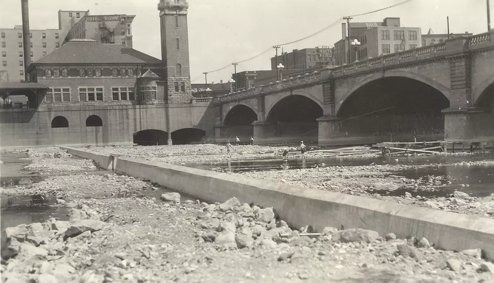
So, people are working to remove these dams and restore the river to its natural shape. Below is a photo of the dam being built just north of the Bridge St. Bridge, which is identical to the other 3 dams in this area of the Grand River.
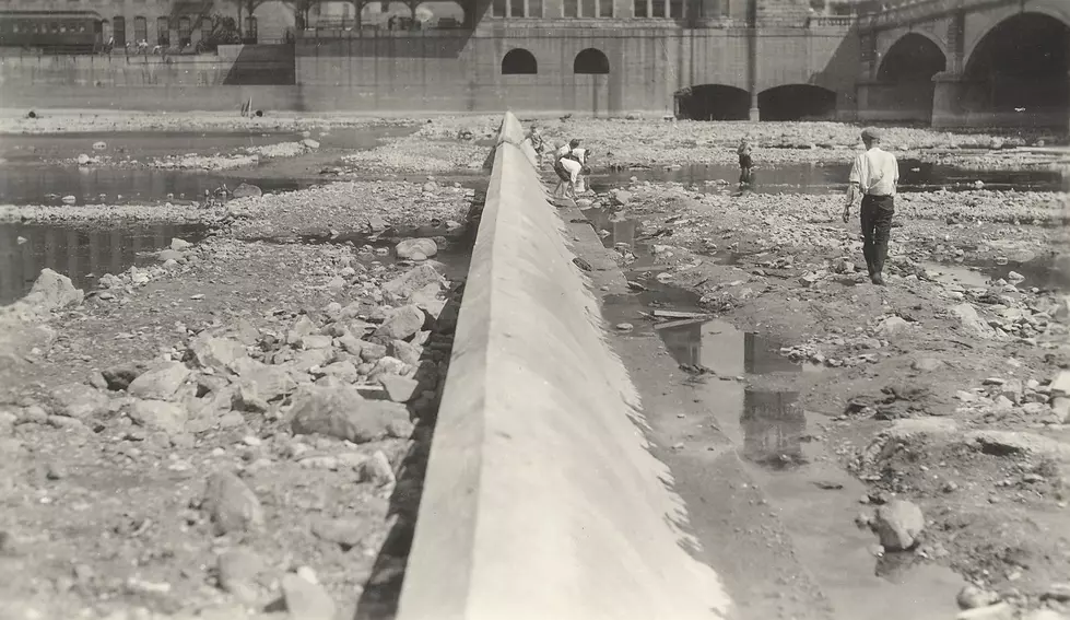
This is how the area north of the Bridge St. bridge looked after the dams were completed in 1927.

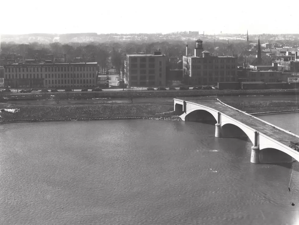
After the dams were installed, this is how the Grand River looked circa 1931. The photo shows the exact location where crews are currently removing the dam, next to what would become Ah-Nab-Awen Park and the Gerald R. Ford Museum.
The Grand River project is expected to be complete by the end of 2027. You can read more details about it here.
Historical Photos of the Grand River Flooding From 1900s
Gallery Credit: Tommy McNeill
Downtown Grand Rapids Major Changes Since 2000
Gallery Credit: Tommy McNeill / Google Maps
More From 97.9 WGRD