
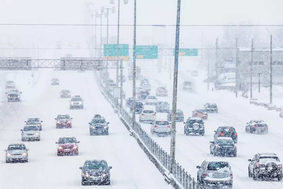
Interactive Map Of Grand Rapids Road Closures
As water levels begin to recede in West Michigan, more roads and bridges are opening to traffic.
View an interactive map of road closures in Grand Rapids and make your commute as quick and safe as possible.
At one point there was about 80 road closures in Kent County due to flooding. Muskegon County had so many road closures they ran out of "Road Closed" signs.
There are fewer closures now, but some of the roads closed in Grand Rapids are major ones.
Get the latest road closings info with this interactive map.
View City of Grand Rapids-Roads and Bridges Closed in a larger map.
For more flooding information, The City of Grand Rapids has posted a flood information page that is constantly updated.
More From 97.9 WGRD


![Facebook Famous Gary the Turkey Has Been Captured in Kentwood [VIDEO]](http://townsquare.media/site/43/files/2022/02/attachment-Untitled-design-88.jpg?w=980&q=75)

![MSP Warns People Not to Swim in Flood Waters… But What About Jet Ski? [VIDEO]](http://townsquare.media/site/43/files/2021/06/attachment-MSP1.jpg?w=980&q=75)


